Free powerful CarryMap app
With user-friendly powerful CarryMap app on your device you can access your mobile maps everywhere you go.
Powerful CarryMap app
With user-friendly powerful CarryMap app on your device you can access your mobile maps everywhere you go.
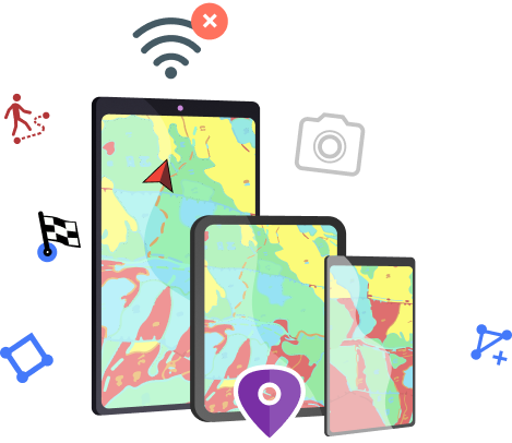
Powerful map application for offline work
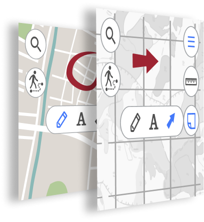
Access your interactive maps everywhere you go with your mobile device. All app tools including creating and editing features, finding current location, identifying and searching for features are available offline.

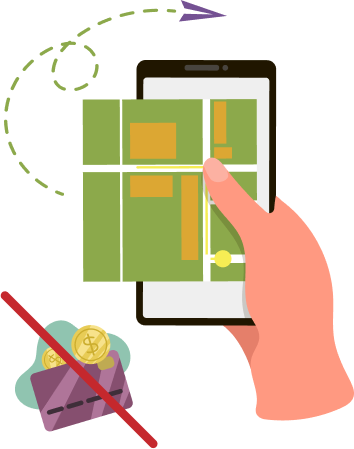
Work in the app without authorization, payments and in-app purchases
To access mobile maps, paid subscription as well as corporate and any other accounts are not required. Besides, number of users working with mobile maps is unlimited.
You can create new features on your mobile map by simply adding points, lines, and polygons directly with your mobile device. Created features can be edited, for example, by adding information about Z coordinates of point features, by changing location of the existing vertexes or by adding the new ones for polygons.
Adding point feature on your map can be done with your device camera. Just take a photo of the site or download the existing photo from your gallery and the feature location will be defined based on the photo coordinates.
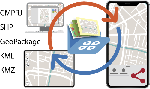
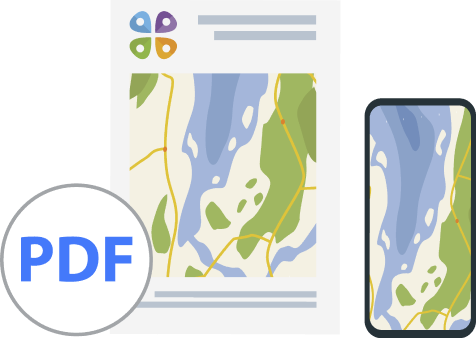
CarryMap supports import and export of data in SHP, GeoPackage, KML/KMZ and GPX formats, so you can easily exchange your data with other users in the needed format.
Take measurements on the map
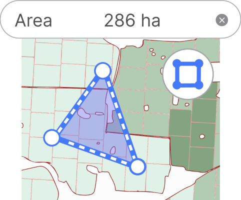
Use handy measurement tool to quickly calculate your route distance or area of the needed territory. Calculate radius of the circle with center at the selected point. Determine geographical azimuth on the map and use circular ruler to define equidistant objects.
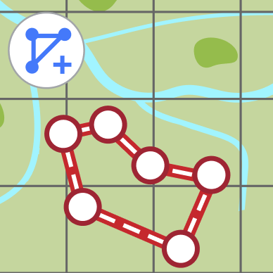
Using the GPS positioning system of your mobile device you can record your GPS tracks and display your current route on the mobile map. With this option, you can walk/drive around the needed territory defining its boundary and area. Note that creating polygons by tracks can be done in the background mode, so you will be able to use any other app options during the track recording.
Adding arrows or drawing free hand graphic on the mobile map, you can mark the places you need to remember or which you want to show your colleges upon returning to the office, or mark the features that need to be defined more accurately and complemented later.
To add photo, video or audio attachments to features, just take a photo/video/audio with your device camera or download the existing file from your device gallery. In the identification card there will be a preview window for the added attachments and their total amount.

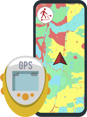
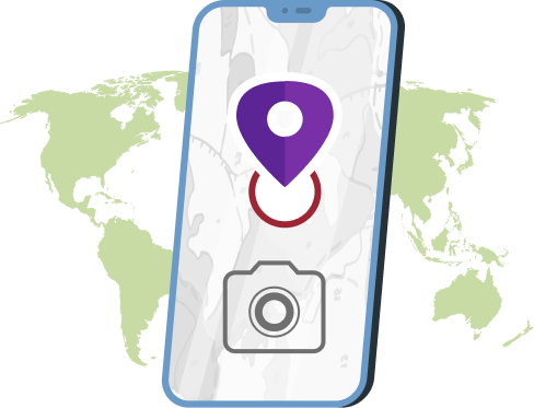
Use external Bad Elf GPS receiver to find your current location
Your current location can be found using the GPS positioning system of your mobile device or using the external Bad Elf GPS receivers, if any. Showing current location on interactive map does not require internet, so you will be able to quickly find where you are even in remote locations.
You can save any interactive map extent as a bookmark and refer to it as needed.
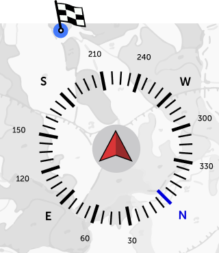
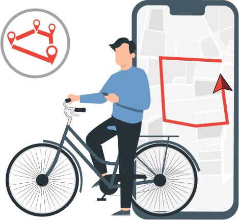
Use map features as destination points
CarryMap is like compass, but instead of north, it can show direction to the destination point of your route.