The new CarryMap version for mobile devices is available
We are happy to announce that the new CarryMap version for mobile devices has been released. Download the updated CarryMap app from our mobile app stores and on our website to evaluate its new features and improvements.
In the new version, we have added the ability to control individual app features directly on your smartwatch, display the deviation angle and approach speed to your destination, information about your speed along the track and your travel time, as well as additional settings for displaying buttons in the map window. Besides, we have made some minor fixes related to overall stability and performance. The new version is already available for download on our website and in the app stores.
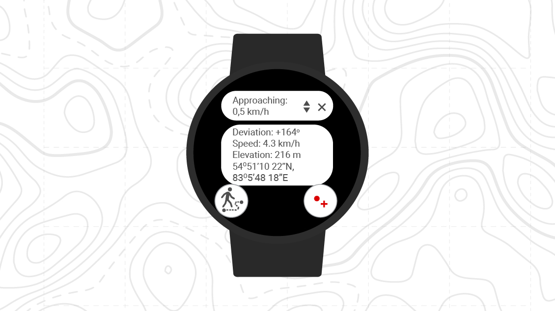
Support for Wear OS/Apple Watch
Now you can start track recording, create point objects on the route and monitor key movement parameters without taking out your smartphone, right on the watch screen. Thus, you can always check for your current location and movement dynamics.
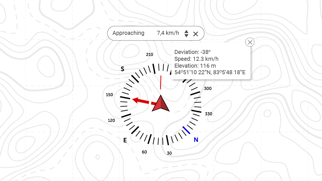
Deviation angle and approach speed to your destination
When moving towards your destination, the app shows how far you have deviated from the given direction and how quickly the distance to your destination is decreasing. This allows you to promptly adjust your route and calculate your travel direction more accurately.
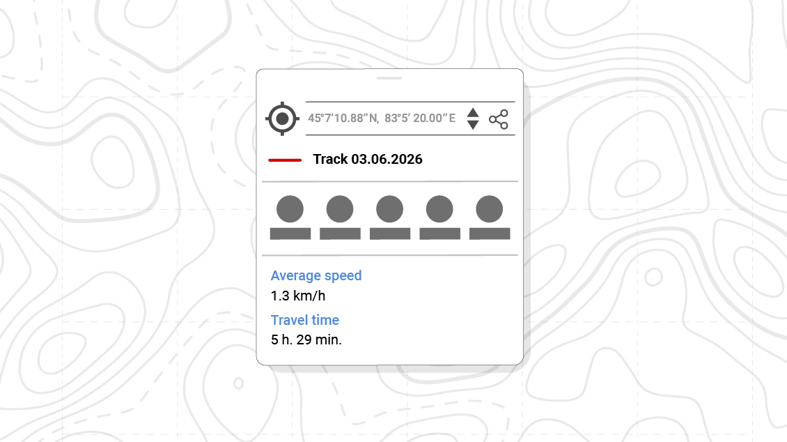
Information about average speed on the track and travel time
The average speed on the track and the total travel time are now automatically saved. You can view this information in the track identification card after finishing the recording. Analyze your routes comparing different trips or hikes and plan your next journeys according to your actual pace.
Coordinate system information in the map menu
Now you can view the coordinate system of the current project, layer or dataset at any time while working with the map.
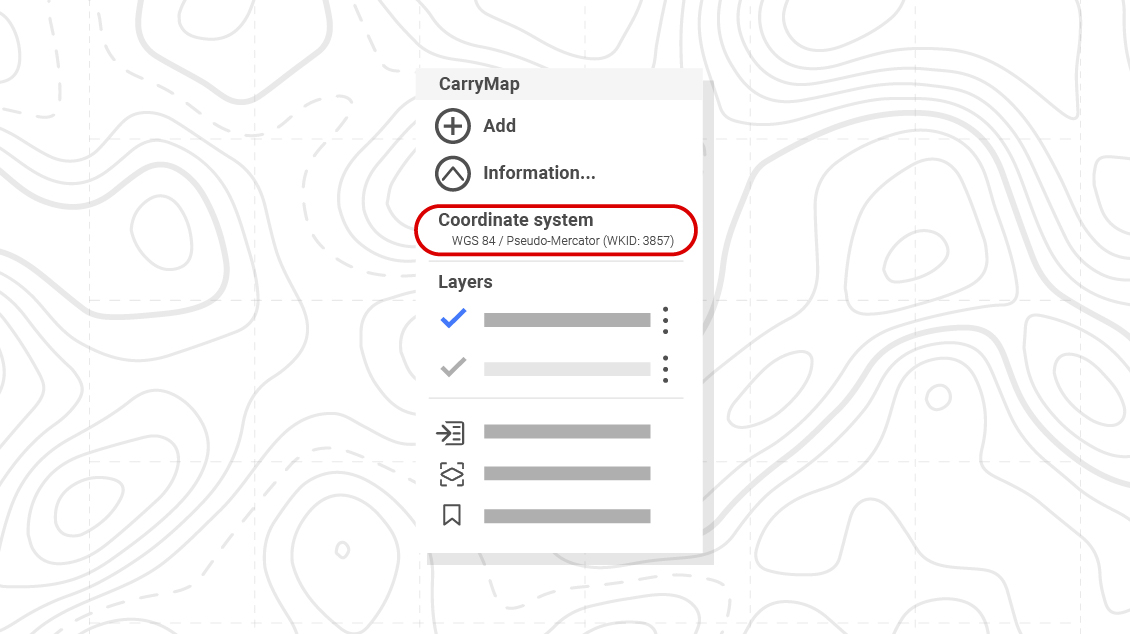
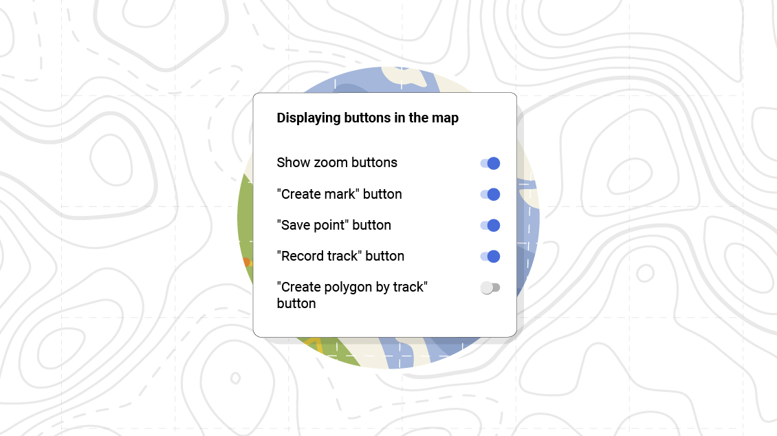
Control buttons display in the map window
Customize the buttons display on the map according to your tasks. Keep controls you need only, whether it's recording a track or creating point objects, creating polygons by track, etc.
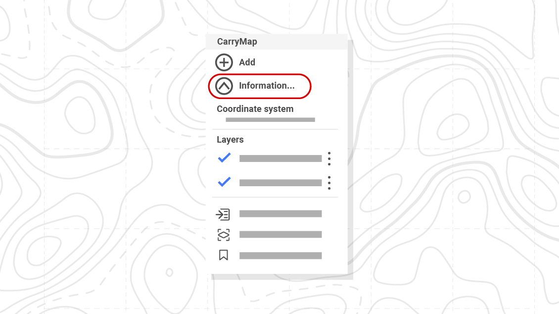
Layers section changes in the map menu
Working with map layers, getting information about them, managing their display and configuring their properties is now even more convenient with the new ability to adjust the layers list visibility in the map menu.
Other
Minor fixes related to stability and performance.
Download CarryMap app for mobile devices
CarryMap Team


