New CarryMap for Windows is released

We are happy to announce that the new CarryMap for Windows version has been released and is available for download. Find out what is new in the Desktop application.
What’s new in CarryMap for Windows:
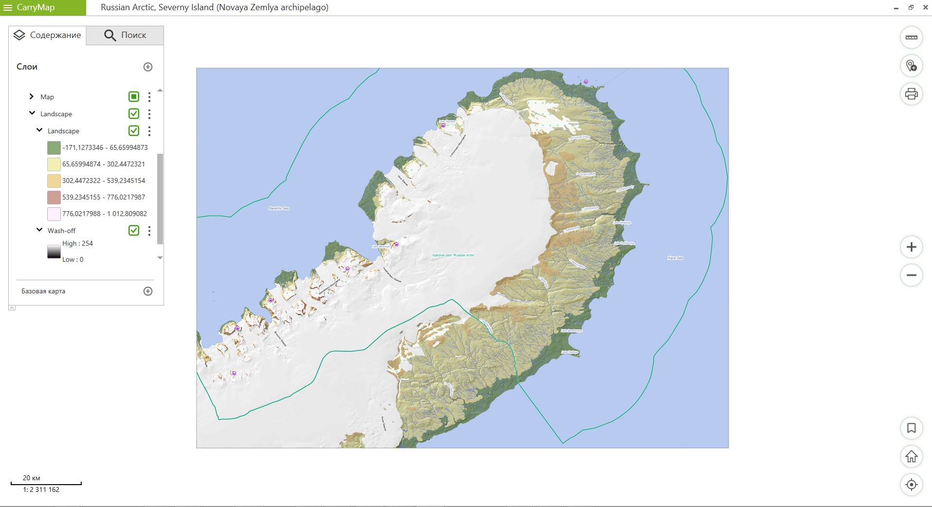
Displaying legend of raster layers
Now it is possible to display the legend of raster layers for maps created using gradient colors. For example, now you can have access to more information about the features of such a raster layer as a relief.

Import data from SHP format
In addition to importing data from KML/KMZ, GPX files now you can import data from shapefile (.shp), the wide-spread vector geographic file format.
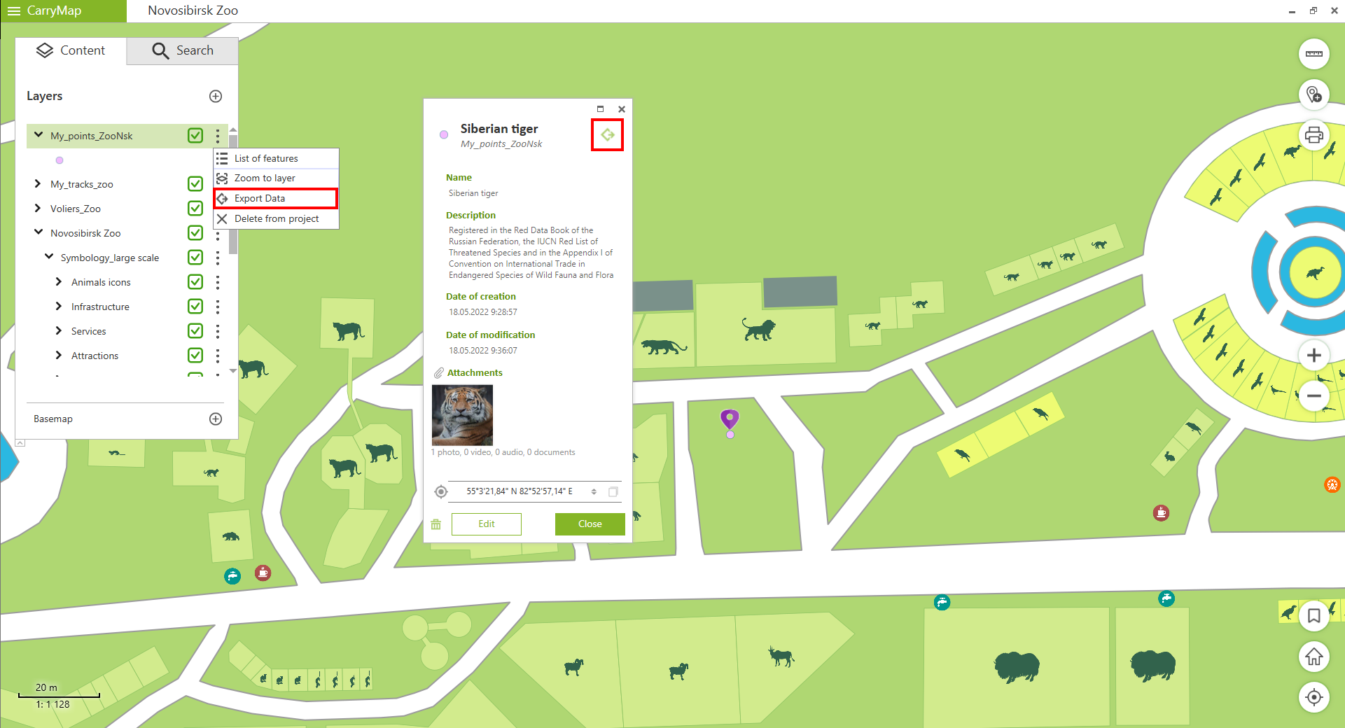
Export layers and features
Now it is possible to export layers and features to GeoPackage, KML/KMZ, SHP, GPX formats. After the export process is completed, you can share the generated file with exported data with your peers using any convenient method.

Minor bug fixes and enhancements
Download the CarryMap app for Windows
CarryMap Team


