New CarryMap for Windows released

We are happy to announce that the new CarryMap for Windows version has been released and is available for download on the website. Find out what features and improvements have been implemented!
What's new in CarryMap for Windows:
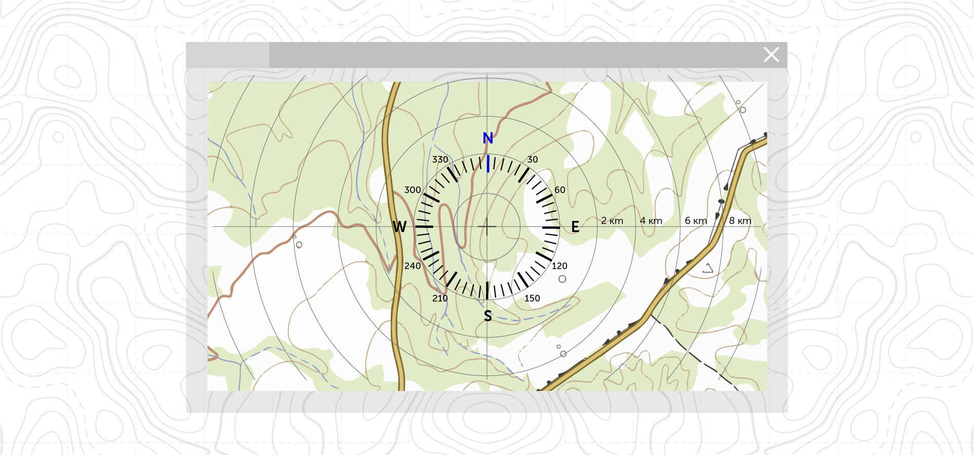
Circular ruler
The circular ruler is designed to measure distances and determine directions on the map in real time. This tool allows you to quickly determine location of objects equidistant from the selected point; it is enabled and disabled in the app settings and changes appropriately when zooming the map.
Setup layer properties
In the new desktop app version now it is possible to configure general layer properties; create new fields and configure additional properties for existing fields; configure object symbols and define their basic parameters; add object labels. The tool window is divided into separate blocks for ease of navigation and properties setting.

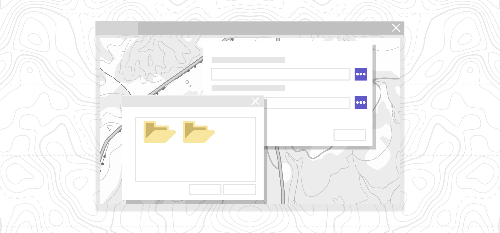
Importing data from GeoPackage
Data in GeoPackage format can be imported into an existing GeoPackage file. This feature allows you to create new layers, partially update, unite or completely replace existing layer objects in the selected GeoPackage file.
Filtering objects in GeoPackage layers
Objects in GeoPackage layers can be filtered by one or few parameters. Only those layer objects that correspond the filtering conditions will be displayed on the map.

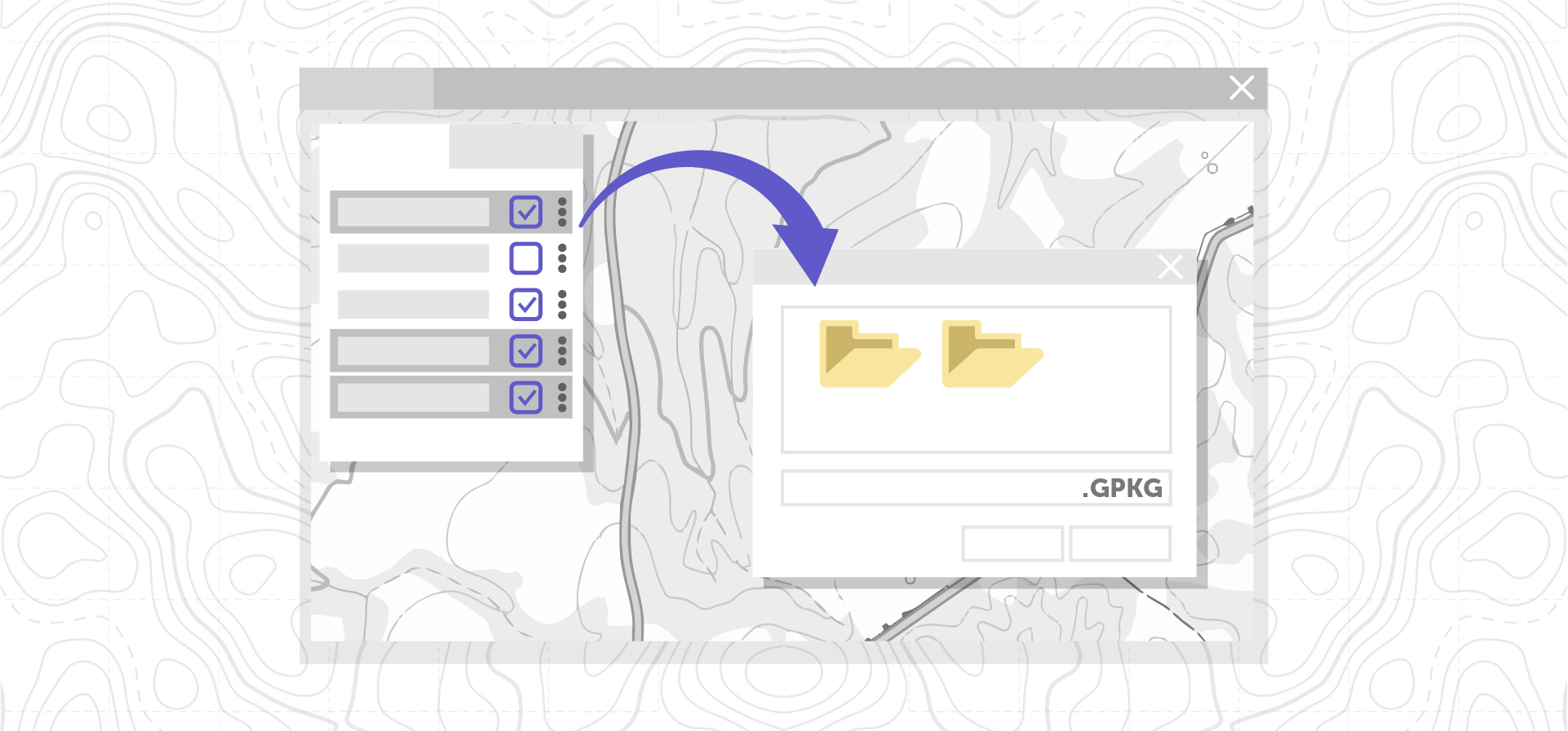
Multiple layers selection
In the new desktop app version a multiple layers selection from the list is available. This tool simplifies the work with the map content. Now it is possible to disable visibility for several layers selected from the list at once, to zoom map to layers, to delete or export layers.
Other
Fixes related to stability and performance improvements.
Download the CarryMap app for Windows
CarryMap Team


